
The experience
The Way of the Gods: walking through the Tuscan-Emilian Apennines
The Via degli Dei is a route that was born from the goliardic spirit of a group of Bolognese walkers of the CAI (i Dû pâs e ‘na gran magnè, in Bolognese dialect “two steps and a great meal”) who wanted to reach Florence, refreshing themselves as a final prize with the typical Tuscan Florentine meat.
The name derives from the ancient name of some mountains that the path crosses.
Mount Adonis, Monzuno – Mons Iovis, Mount of Jupiter, Mount Venus, Mount Luario, Lua was the Roman goddess of atonement. A Way of the Gods in fact. A total of 130 kilometers through the Tuscan-Emilian Apennines: from Piazza Maggiore in Bologna, to Piazza della Signoria in Florence, a UNESCO World Heritage Site, the city of the Renaissance.
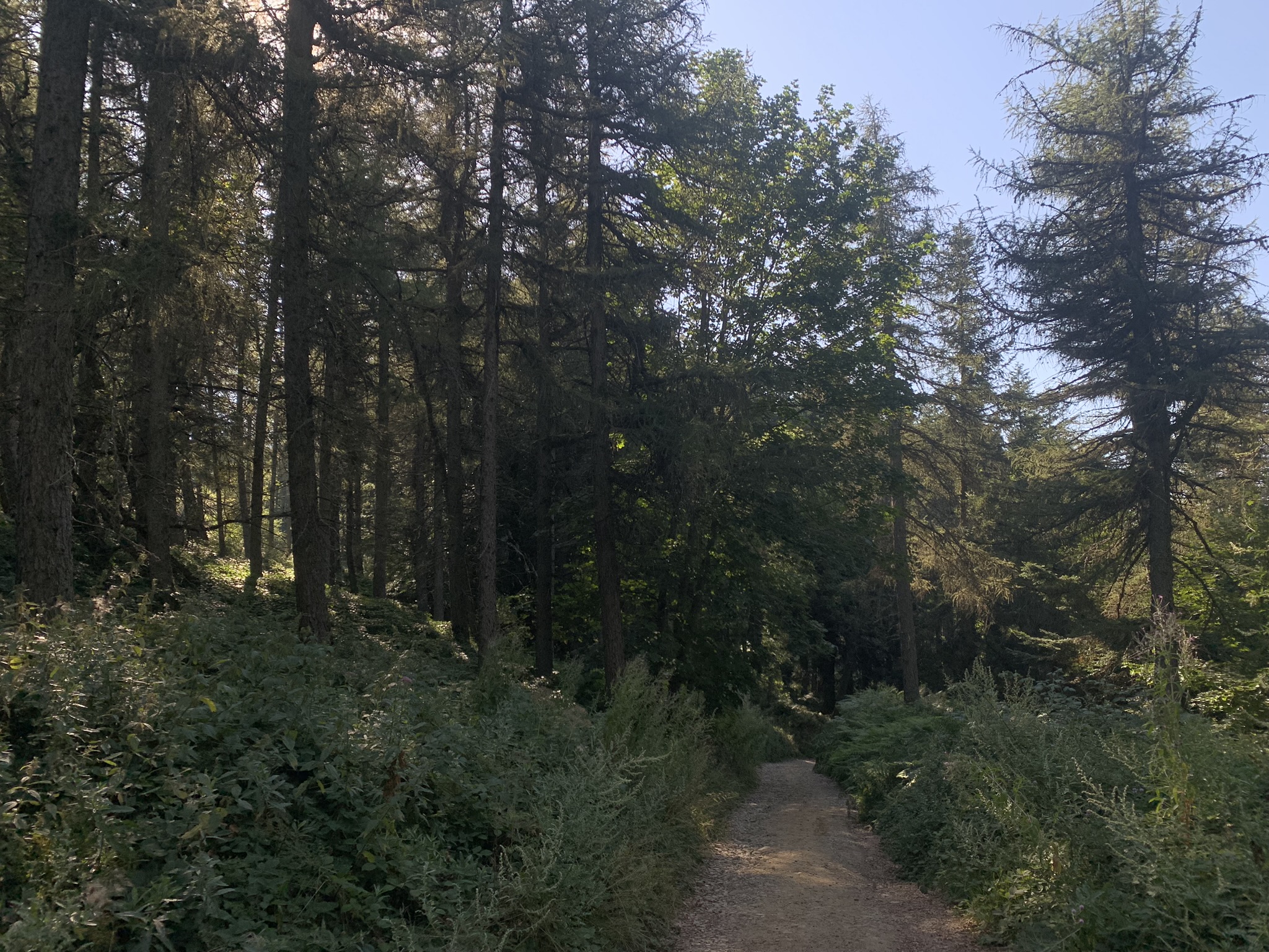
The path winds through woods, paths and ancient millenary roads (the Etruscans and the Romans and then merchants and wayfarers throughout the Middle Ages) and those who walk it can discover fascinating places: the Pliocene Buttress Nature Reserve, the “Flaminia militare”, the Trebbio castle, the Sanctuary of Monte Senario where the friars offer walkers the “Gemma di abeto” liqueur, secretly prepared on site.
The Tuscan-Emilian Apennines also experienced tragic moments, such as the Second World War; in fact, the path encounters many places crossed by the Gothic Line.
The path has allowed the rebirth of many small villages, bringing new job opportunities related to tourism.
This itinerary has been created in synergy with “Smart Walking”, Davide Fiz’s project that combines trekking and agile work, to enjoy tourism and work slowly, with a backpack on your shoulders and the desire to discover the historical and naturalistic heritage of our territories!
Shortly
Tour
Bologna to Sasso Marconi
From Piazza Maggiore we take Via d’Azeglio, pass Lucio Dalla’s house and then turn right into Via Farini and then left into Via Collegio di Spagna, from which we will continue on the left to get to Via Saragozza where we will meet the last shops and bars to buy the packed lunch of the first stop.
Once we arrive at the Meloncello arch we begin to walk along the longest portico in the world: the one that leads to the Sanctuary of the Blessed Virgin of San Luca.
Km 21,3 Maximum height 817 a.s.l.
Time: 6.50 hours
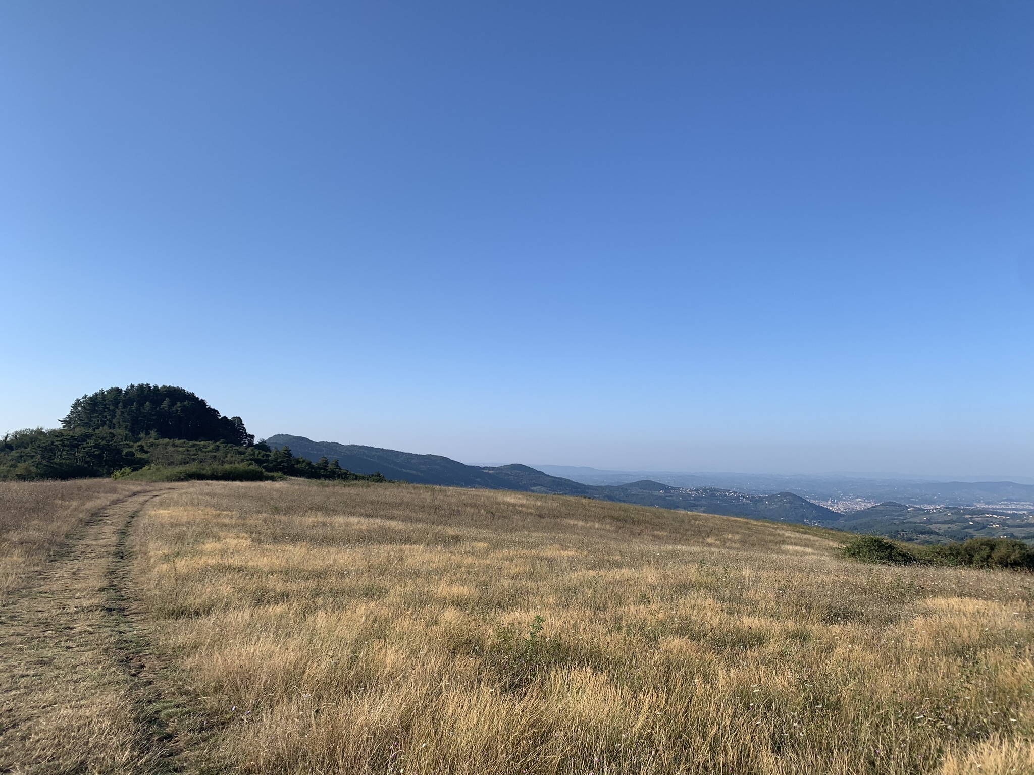
From Badolo to Monzuno
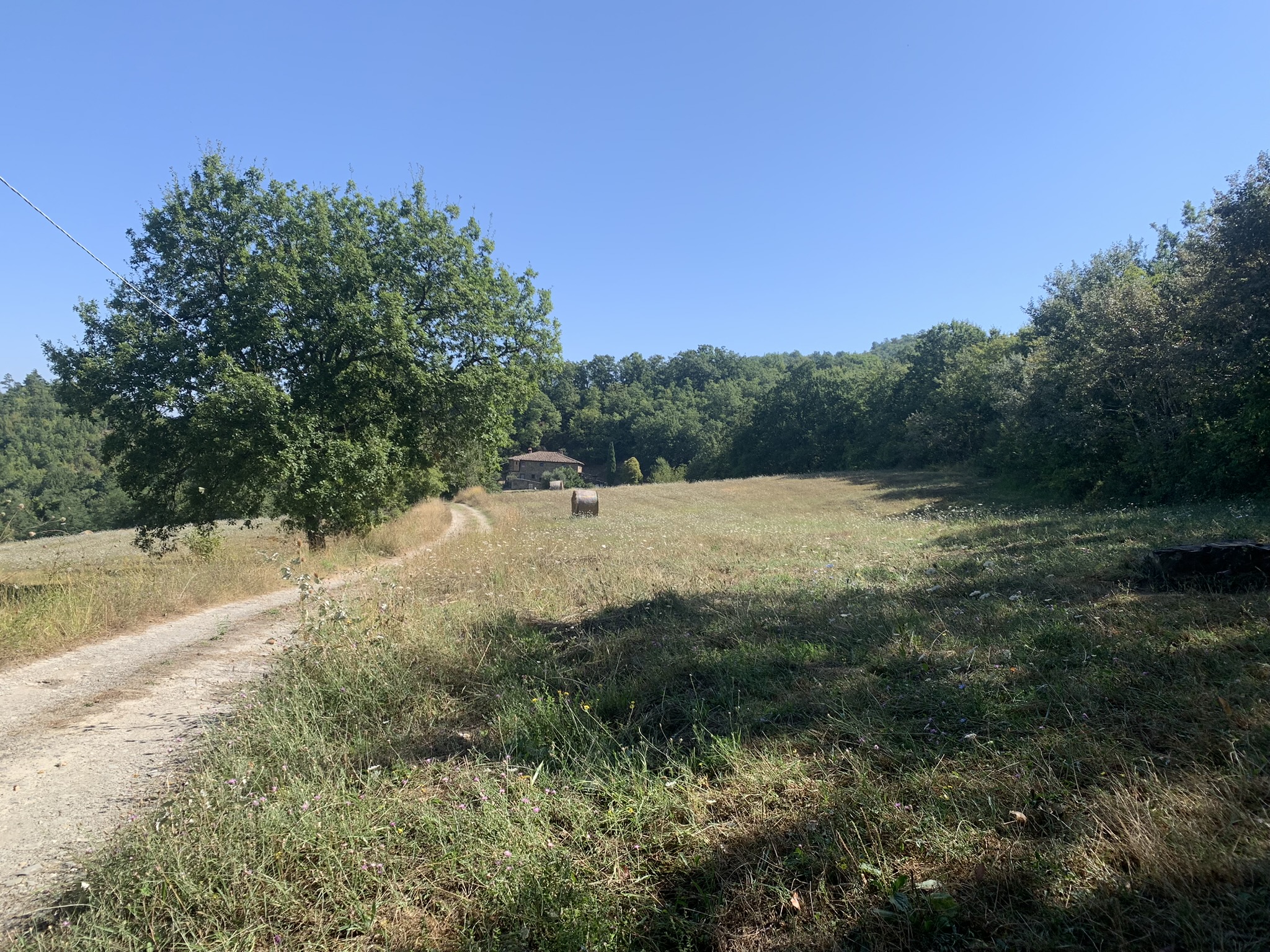
Along Via delle Valli, the path of the Via degli Dei continues through oak and downy oak woods to go around Monte del Frate.
You will soon arrive in via Valverde and don’t worry if you hear the lion roaring, you are not in the jungle, but near the Center for the Protection and Research of Exotic and Wild Fauna – Monte Adone where volunteers do valuable work for the protection of biodiversity by taking care of animals in difficulty.
Shortly after you arrive at a crossroads (there is also a fountain) and you have to turn sharply to the right, it almost seems to go back.
Continue on the easy road and after a few hundred meters the Piccola Raieda Farmhouse, turn left to begin the climb of Monte Adone.
The climb is short, but quite challenging.
The effort will be rewarded by the beautiful panorama and the beauty of the place.
Monte Adone is certainly the most photographed place on the Via degli Dei.
Coming down from Monte Adone you arrive in Via Vallazza and shortly thereafter in Brento where you will find services, bars and a trattoria where you can rest before the long stretch that connects Brento to Monterumici and then Monzuno.
Stage 2: Badolo – Monzuno
Km 28 Maximum height 1460 a.s.l.
Time: 9.50 hours
From Madonna dei Fornelli to Passo della Futa
From Madonna di Fornelli continue towards Pian di Balestra along path no.
019. After the crossroads of Pian di Balestra, follow the signs for Via degli Dei – Futa and Strada Romana, pass a small wooden gate on the left and enter the woods.
After a few meters you can already admire sections of Flaminia Militare, the ancient Roman route dated 187 BC that will accompany you to different points of this stage.
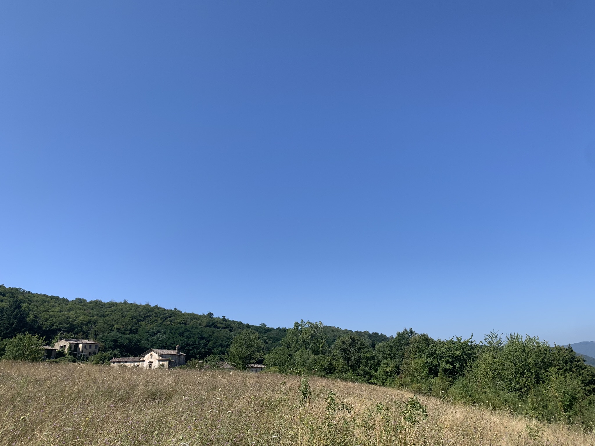
Continuing on the path you arrive at a gate easily identifiable by a drawing and a red inscription that reads “Close the gate thank you”, beyond which a large space opens up: a large field with a stone house on the right (Località “I Capannoni”).
Continue along the dirt road and after the bend you will see a tree with directions to the route.
As you continue walking, you will come across a fork where you have to turn right.
This point of the route is not well signposted, but follow the road as recommended and after a few meters you will see the CAI sign n°019 on the right.
The path continues until you reach the Piana degli Ossi, where you can admire the remains of 6 ancient furnaces presumably dating back to the second century BC.
After this point, continue towards the Passeggere where you will come to a crossroads with indications on wooden signs at which you must turn left.
Continue the path and at the next fork turn right; After a few meters you will come to an artificial lake that you will have to skirt until the fence ends.
The path continues to the left and uphill until you come out of the woods and meet two plains: a smaller one on the right and always straight on a wider one called “radura delle Banditacce”.
Continue southwards following the slightly uphill path until you reach the top of the “Banditacce”, the highest point of the entire route (about 1200 m).
After a few meters you will also reach the “Poggiaccio” which determines the half of the journey, or the approximate equidistance between Bologna and Florence.
The path then descends slightly to the left and there you can admire numerous finds of the ancient Roman road, well preserved and easily identifiable thanks to the presence of numerous signs.
Continue walking and you will arrive at the foot of Poggio Castelluccio: for those who want there is the possibility of making a small detour to the right uphill and reaching the top where evidence of an ancient Ligurian Castelliere (presumably V-III century BC) has been found.
Continuing along the path, however, you will again encounter sections of Flaminia Militare, one of which is well preserved and protected by a sort of wooden fence.
Continue the route following the signs and descend to the right until you reach the beginning of a coniferous forest.
Continue in a straight line always following the signs for Futa until you soon reach the paved road that leads from Pian del Voglio to the Futa Pass, SS 65.
Follow the paved road until you reach the large parking lot and the entrance to the German Cemetery, one of the largest in Italy.
Stage 3: Madonna dei Fornelli – Passo della Futa
Km 17,25 Maximum height 783 a.s.l.
Time: 5.50 hours
From the Futa Pass to San Piero a Sieve
Sant’Agata is a hamlet of Scarperia and San Piero, the navel of the world say the inhabitants of the town.
Raffaele intercepts us at the tavern and takes us to his small rock temple: The Ufo Club is a small museum where he exhibits his vinyl collection: he owns about twenty thousand!
The fatigue of the artifact, the fatigue of the goal.
The dilation of time to produce, the dilation of time to arrive.
Km 21.1 Maximum height 641 a.s.l.
Time: 6.30 hours
From San Piero a Sieve to Bivigliano
We leave for the Via degli Dei from the historic center of San Piero a Sieve, we follow the paved road with signs for the Medici Fortress.
Once you get on, take the dirt road to the right and continue walking following the CAI Bo-Fi signs.
After a while you will have the opportunity to make a small detour to go and see the Medici Fortress of San Martino.
The fortification occupies an entire hill: it dominates the town of San Piero a Sieve and a large part of the Mugello.
Its construction was strongly desired by Cosimo I de’ Medici to place a bulwark to defend the possessions of the family and the Florentine State as well as to satisfy the pressing requests of the local populations, tired of the continuous looting perpetuated against them by armies and bands from the north.
It is considered one of the largest Italian fortifications of all time.
Continuing to walk you will come to an asphalt road.
Take it, turn right, continue a few meters, cross the road and take the dirt road on the left that indicates “Trebbio, Cadenzano”.
Continue on the path until you reach a large fork: here take the road on the left uphill.
Continue walking on the Via degli Dei and you will find a tabernacle from 1664 on your right.
Make a small detour and go and see the Trebbio Castle up close.
Go ahead and follow the signs for CAI 17 Bo-Fi Bivigliano.
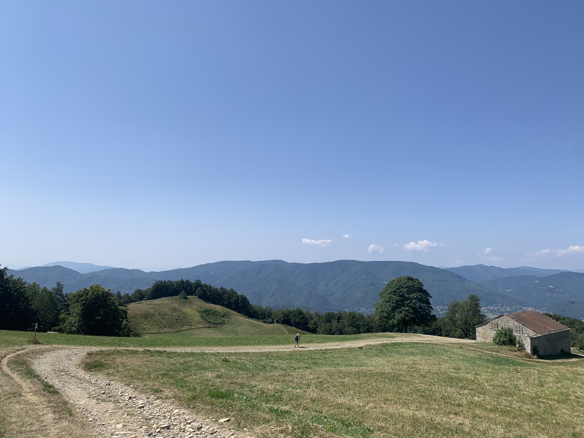
The road continues and winds through the beautiful panorama of Mugello where you can always see olive trees, villages and tabernacles.
Continue straight until you reach the state road to Florence.
Turn left for Tagliaferro, go down until you meet the CAI signs for Bivigliano again on the wall that surrounds a large red house.
Continue and pass a gate that takes you to the dirt road.
After a while, the signs say to turn left, thus leaving the dirt road behind and continuing into the woods.
The path climbs and arrives at a crossroads: CAI 00 and CAI 00-60: follow the first by turning right and continue on the dirt road.
When you arrive at a small clearing with the name of “Camporomano” the path resumes to the right in the woods.
Continue on the track until you come to a paved road and in the distance, on your right, you can admire the Badia del Buonsollazzo.
Continue on the paved road until you meet the sign for Monte Senario on your left.
The path continues uphill until it crosses a gate that leads onto an asphalt road: it is the road that leads to the Convent of Monte Senario.
After a stop at the refreshment point of the friars, take the dirt road that runs alongside the Convent on the right, descend along the tree-lined avenue and take the path that descends into the woods on your left and eventually arrives on a paved road.
Stage 5: San Piero a Sieve – Bivigliano
Km 18 Maximum height 75o a.s.l.
Time: 6 hours
From Bivigliano to Florence
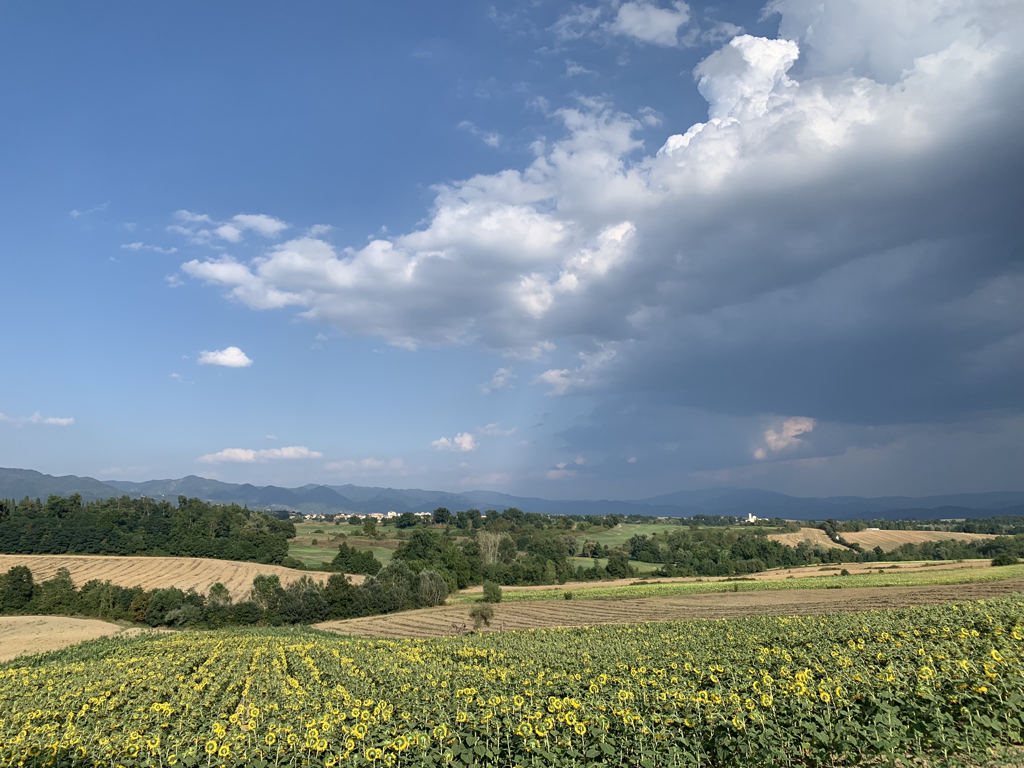
The last stages of the Via degli Dei are a slow descent towards the return to noise, streets, cars.
The Apennines remain behind like a fortress, you descend towards Fiesole and now the dome of the cathedral of Florence is there at your fingertips.
A journey ends and we are already ready to start again.
They change places but in reality we follow our way, always.
Dedicated to those who have walked the path, to those who have dreamed of doing it and to all those who set out on the road every day.
This is how the work “the tenacious wayfarer” who meets in the woods in the last stage before arriving in Fiesole reads.
Stage 6: Bivigliano – Florence
Km 18 Maximum height 25o a.s.l.
Time: 4 hours
Let us guide you on your journey to the Roots
Don't miss the opportunity to explore the places that have shaped your origins, request a tailor-made itinerary without obligation

